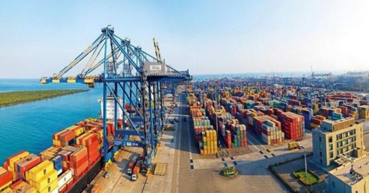
Union Environment Minister Prakash Javadekar has defended the controversial Kattupalli port expansion project proposed by Adani Ports in high eroding Ennore stretch on the outskirts of Chennai.
The public hearing on the project, scheduled on January 22, had to be called-off by Thiruvallur district administration following environmental and livelihood concerns raised by local communities, who are likely to be affected by the port expansion, and the environmentalists.
Two MPs from Chennai — Thamizhachi Thangapandian and Kalanidhi Veeraswamy — have raised the issue in Parliament and asked Prakash Javadekar a set of questions whether the expansion of Kattupalli port was prohibited under Coastal Regulation Zone (CRZ) Notification as ports are not permitted to be set up in high erosion zone nor within close proximity of a sanctuary. Also, whether the project would pose challenges of water security and increase risk of flooding in and around Chennai city and also rise in saline ingress/intrusion into groundwater aquifers and whether the government proposes to take action against the company (Adani) engaged in the expansion of the port for providing “false/misleading” information relating to the project.
In reply, Javadekar said though construction of port and harbour projects in high eroding stretches of the coast are prohibited under CRZ Notification, the proposal was for the expansion of the existing Kattupalli port. “Environmental and CRZ clearance for the existing port was accorded by the ministry after due diligence in 2009. Further, the Pulicat Lake is situated approximately 13 km north of the project.”
The Government of India defines a high-eroding stretch as a beach that is eroding at the rate of 1 metre every year. A 2006 study by the Ministry of Earth Sciences, Government of India, establishes that “Along the north coast of Ennore port, the beach fill area is undergoing severe erosion at the rate of 50m per annum. According to the environmental impact assessment (EIA) by Adani-owned Marine Infrastructure Developer Private Limited (MIDPL), the coast on which the project is to be located is eroding at 8.6 m/year due to the existing Kattupalli and Kamarajar Ports.
On adverse impact, Javadekar said Terms of Reference (ToR) issued for the project for EIA study mandates studies including a comprehensive study on all existing developments, impact of the construction of berths and breakwaters on the littoral drift, which causes the sand accretion and deposition in the region; shoreline change management plan covering the area from Ennore creek to Pulicat lake; impact of the proposed project on Ennore shoals that were protecting the coast from cyclone and tsunami and study on the drainage pattern within and outside the port area including Ennore creek, Pulicat lake and Buckingham Canal.
“Impact assessment and mitigation measures are mandated as a part of EIA . Further, EIA and EMP studies along with the Public Consultation report are appraised by the expert appraisal committee for their necessary recommendation. As per EIA Notification, 2006, as amended, deliberate concealment or submission of false/misleading information which is material to appraisal or decision on the application shall be liable for rejection, and cancellation of the prior environmental clearance granted on that basis,” the minister told in the Parliament.
Source: New Indian Express


