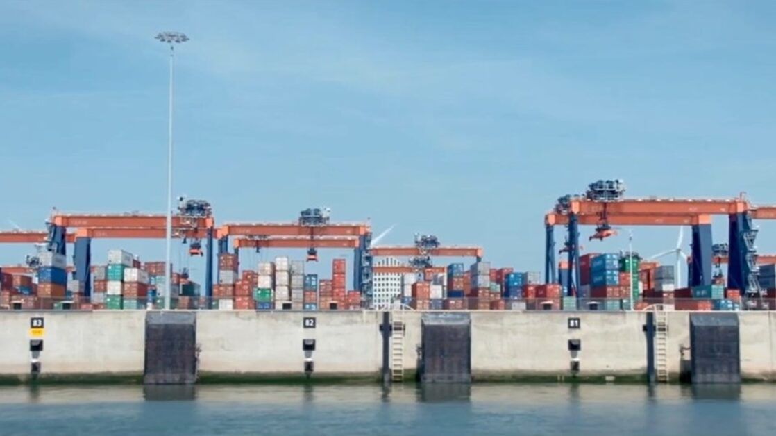
In order to improve ship movement efficiency and lower CO2 emissions, the Port of Rotterdam has implemented a Geofence system as part of its Just-in-Time sailing project.
When vessels enter a designated Port-Passage Planning Area (PPA), approximately 240 nautical miles from the Maascenter buoy, the technology automatically notifies shipping brokers and terminal planners. This reduces wait times and permits accurate arrival scheduling.
According to 2022 research, just-in-time sailing could cut CO2 emissions and fuel consumption by 4.23% during the last 12 hours of transportation. In order to promote Rotterdam’s sustainable and effective port operations, terminal operators, agents, and service providers have worked closely together on the initiative, which was created under the IMO and Norway’s GreenVoyage2050.


